
The rapid growth of the geospatial industry, driven by advancements in AI, has made geospatial data annotation increasingly important. As industries rely more on precise geographic data for decision-making, understanding and implementing effective annotation techniques is essential.
This article explores the significance of geospatial data annotation and its applications across various sectors.
Understanding Geospatial Data Annotation
The rise in the use of Artificial Intelligence (AI) in the geospatial industry is boosting market growth. Geospatial intelligence is vital for 90% of smart city projects worldwide. To harness this potential, understanding geospatial data annotation is key.
What is Geospatial Data Annotation?
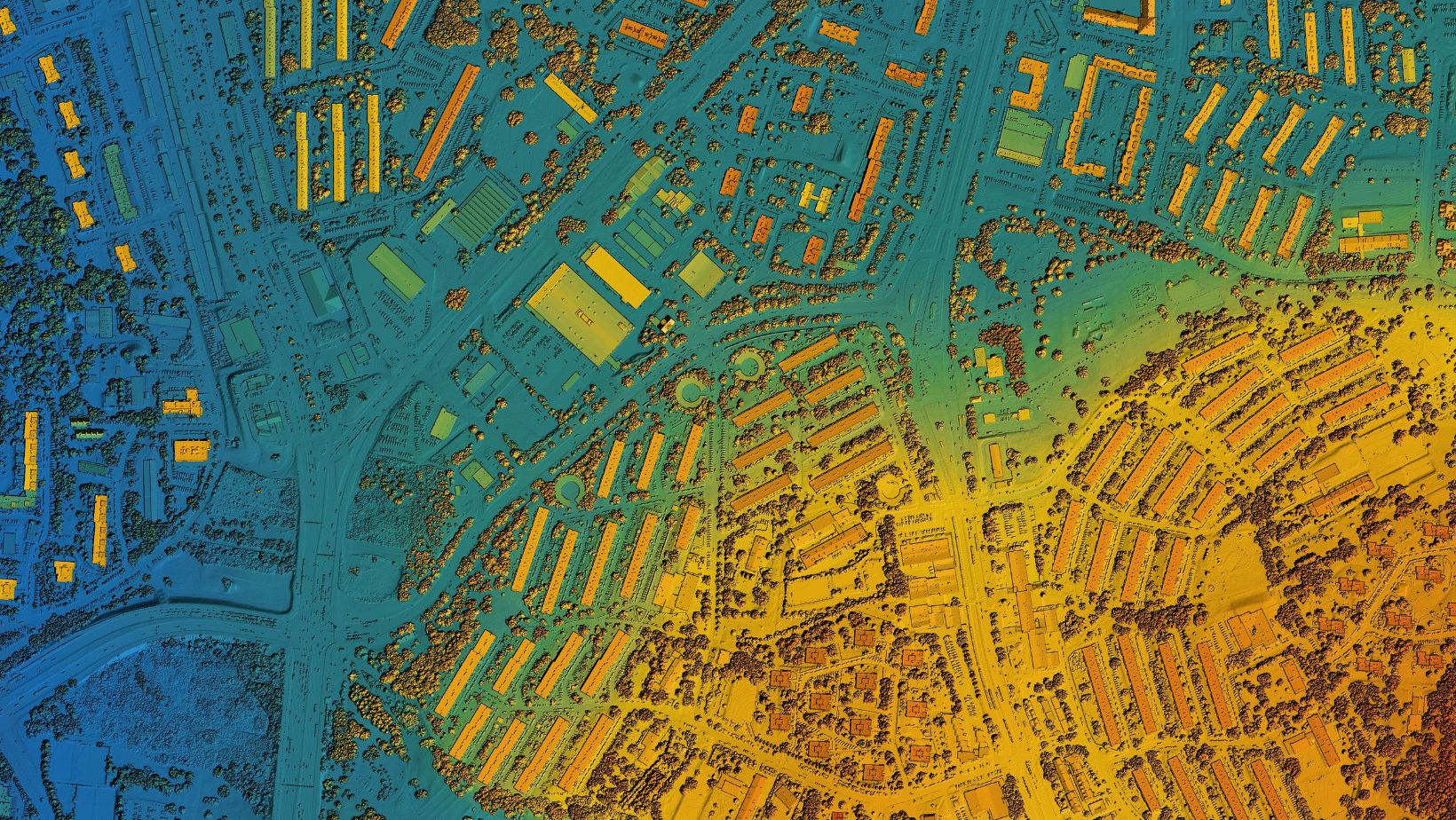
Geospatial data annotation involves labeling geographical data from sources like satellite imagery, aerial photos, and GPS. These annotations make the data usable for AI applications, enabling precise analysis and decision-making.
Types Of Geospatial Data:
- Satellite imagery. High-resolution images from space are used for mapping and analysis.
- Aerial photos. Images taken from aircraft for detailed geographic data.
- GPS data. Location-based data is used for navigation and mapping.
Technology and Methods. The process of geospatial data annotation uses various data annotation tools and geospatial tools. These tools help tag, label, and categorize geographical data. They ensure accuracy and efficiency in processing large datasets.
Why accuracy matters is that accurate geospatial data annotation is crucial for AI applications. Inaccurate annotations can lead to faulty analyses and poor decision-making. Thus, precise labeling and continuous quality checks are necessary.
Challenges in geospatial data annotation. Handling large datasets and varying data formats poses challenges. Efficient data management strategies and advanced data annotation tools can address these issues. Moreover, ongoing training for annotators ensures they stay updated with technological advancements.
Maintaining data privacy and security is paramount. Implementing stringent security measures and compliance protocols helps protect sensitive information in geospatial annotation projects.
Applications of Geospatial Data Annotation in Various Industries
Geospatial data annotation is transforming how industries operate. As AI becomes more prevalent, the need for accurate and detailed geographic data grows. Moreover, different sectors even leverage AI annotation tools to enhance their processes and decision-making.
Agriculture
In agriculture, annotated geographic data is vital for precision farming. Farmers use this data to monitor crop health, optimize resource usage, and improve yields. For example, satellite imagery helps identify areas affected by pests or diseases.
By integrating data annotation tools, farmers can make quick adjustments to their strategies, reducing waste and boosting productivity.
Urban Planning
Urban planners rely on annotated geographic data to design smart cities. This data helps in infrastructure development, traffic management, and resource allocation. Geospatial tools enable planners to visualize urban growth, identify potential issues, and make informed decisions. For instance, mapping population density can guide the placement of public services like schools and hospitals, ensuring they are accessible to those who need them most.
Environmental Monitoring
Climate change and environmental conservation are major global concerns. Annotated data from satellite imagery plays a key role in monitoring these issues. Governments and organizations track deforestation, melting glaciers, and other environmental changes. Using AI annotation tools, they can analyze trends and implement measures to protect the environment. For example, early detection of forest fires through geographic data can save lives and reduce damage.
Retail And Marketing
Retailers and marketers use geographic data to improve their strategies. Location-based marketing allows businesses to target specific demographics more effectively. Annotated geographic data helps in site selection for new stores, optimizing logistics, and understanding customer behavior. Geospatial tools provide insights that drive better business decisions, from choosing the right store location to planning delivery routes.
Telecommunications
In telecommunications, network planning, and infrastructure management depend on accurate geographic data. Companies use this data to plan the placement of cell towers and optimize signal coverage. Annotated data helps identify areas with poor coverage, guiding where to build new infrastructure. AI annotation tools streamline this process, ensuring better service for customers and more efficient operations for providers.
Defense And Security
Defense and security sectors heavily rely on geographic data for surveillance and strategic planning. Annotated data from satellite and geospatial imagery provides real-time insights into potential threats. For example, border security agencies use geographic data to monitor and secure borders. Geospatial tools assist in identifying unusual activities, allowing for quick and informed responses.
Key Considerations for Effective Geospatial Data Annotation
When working with geospatial data annotation, certain factors must be kept in mind to ensure efficiency:
Data Quality and Source Reliability
The quality of the data being annotated is the foundation of any successful project. Using high-resolution satellite imagery or other reliable sources ensures that annotations are accurate. Poor-quality data leads to errors and reduces the effectiveness of the data annotation tools. Always verify the reliability of your data sources before beginning the annotation process.
Advanced Algorithms and AI Integration
Incorporating advanced algorithms and AI significantly improves the accuracy of data annotation. For instance, object detection algorithms can automatically identify and label specific features within geographic data.

This automation speeds up the process and reduces the risk of human error. However, it’s essential to regularly update these algorithms to keep up with evolving technologies and data types.
Handling Large Datasets
Large datasets are common in geospatial projects, and managing them efficiently is crucial. Consider using specialized geospatial tools that can process vast amounts of data quickly and accurately. Breaking down large datasets into smaller, manageable sections can also help maintain focus and accuracy during the annotation process.
Data Privacy and Security
Data privacy and security are non-negotiable, especially when dealing with sensitive geographic information. Implementing strong encryption methods and following industry best practices helps protect data from unauthorized access. Regular audits and compliance with privacy regulations ensure that your annotation project remains secure.
Continuous Training for Annotators
Finally, keeping annotators well-trained is key to maintaining high-quality annotations. Regular training sessions on the latest data annotation tools and geospatial techniques ensure that the team stays updated with the latest industry standards.
This continuous learning approach helps maintain accuracy and efficiency across all annotation tasks.
Key Takeaways
Geospatial data annotation plays a critical role in advancing industries through precise and actionable insights. By focusing on quality data, leveraging advanced tools, and ensuring data security, organizations can optimize their processes and make informed decisions.
Staying updated with the latest methods and practices in geospatial data annotation will be key to maintaining efficiency and accuracy in this rapidly growing field!